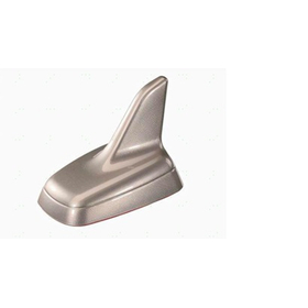
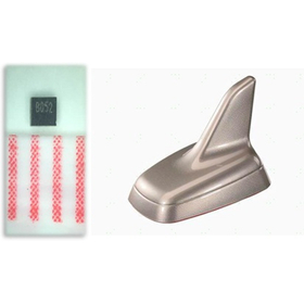
Compliant with AECQ-200! Achieving high-precision recording using GNSS.
In the field of sports records, obtaining accurate location and time information is crucial for enhancing performance analysis and the reliability of competition results. This is especially important in outdoor sports and those that measure distance traveled, where it is essential to accurately receive signals from GNSS (Global Navigation Satellite System) and ensure stable positioning accuracy. In urban areas or environments surrounded by high-rise buildings, radio wave interference can cause GNSS signals to become unstable, potentially affecting the accuracy of records. The HDTF1588CCL-B5-SWTX supports three satellite systems: GPS, COMPASS, and GLONASS, and its wideband, low-loss design enables stable positioning in various environments.
【Usage Scenarios】
- Measuring distance and time in marathons and road races
- Recording speed and location information in cycling and motorsports
- Recording distance traveled and location information in golf and outdoor sports
【Benefits of Implementation】
- Improved reliability of records through high-precision location and time information acquisition
- Stable positioning performance even in urban areas or high-interference zones
- Space-saving design allows for integration into compact devices